Datei:Map Staten Island Railway de.png
Zur Navigation springen
Zur Suche springen

Größe dieser Vorschau: 651 × 600 Pixel. Weitere Auflösungen: 260 × 240 Pixel | 521 × 480 Pixel | 833 × 768 Pixel | 1.111 × 1.024 Pixel | 1.885 × 1.737 Pixel
Originaldatei (1.885 × 1.737 Pixel, Dateigröße: 2,25 MB, MIME-Typ: image/png)
![]()
Diese Datei und die Informationen unter dem roten Trennstrich werden aus dem zentralen Medienarchiv Wikimedia Commons eingebunden.
![]()
| Beschreibung |
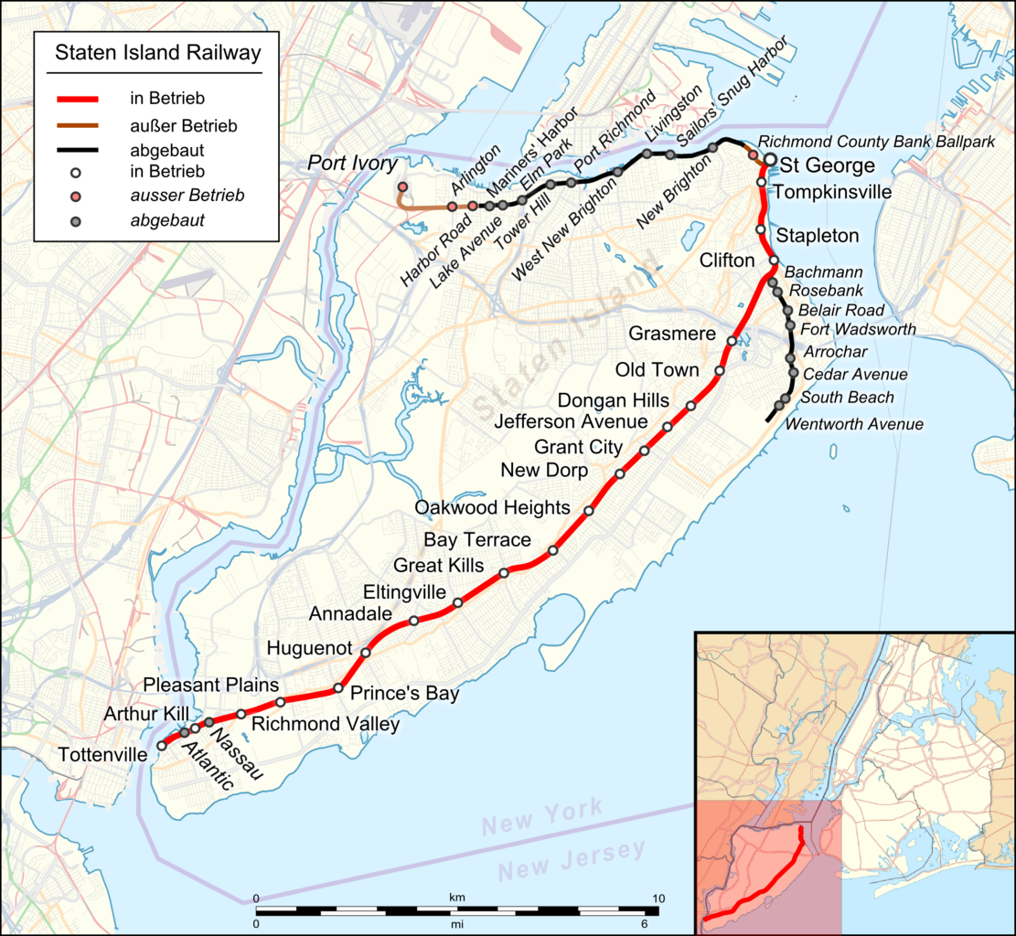
English: Location map of Staten Island Railway. German Index |
|||||||||
| Datum | ||||||||||
| Quelle |
|
|||||||||
| Urheber |
|
|||||||||
| Kartografische Angaben | ||||||||||
| Räumliche Begrenzung |
|
|||||||||
| Georeferenzierung | ||||||||||
| Andere Versionen |
 |
|||||||||
Ich, der Urheber dieses Werkes, veröffentliche es unter der folgenden Lizenz:
Diese Datei ist unter der Creative-Commons-Lizenz „Namensnennung 3.0 nicht portiert“ lizenziert.
- Dieses Werk darf von dir
- verbreitet werden – vervielfältigt, verbreitet und öffentlich zugänglich gemacht werden
- neu zusammengestellt werden – abgewandelt und bearbeitet werden
- Zu den folgenden Bedingungen:
- Namensnennung – Du musst angemessene Urheber- und Rechteangaben machen, einen Link zur Lizenz beifügen und angeben, ob Änderungen vorgenommen wurden. Diese Angaben dürfen in jeder angemessenen Art und Weise gemacht werden, allerdings nicht so, dass der Eindruck entsteht, der Lizenzgeber unterstütze gerade dich oder deine Nutzung besonders.
| Dieses Werk ist lizenziert unter der Open Database-Lizenz (Zusammenfassung). |
Dateiversionen
Klicke auf einen Zeitpunkt, um diese Version zu laden.
| Version vom | Vorschaubild | Maße | Benutzer | Kommentar | |
|---|---|---|---|---|---|
| aktuell | 04:13, 29. Apr. 2018 | | 1.885 × 1.737 (2,25 MB) | Pechristener | korr Atlantic and Nassau stops were demolished |
| 03:58, 29. Apr. 2018 |  | 1.885 × 1.737 (2,25 MB) | Pechristener | Arthur Kill Station added | |
| 10:14, 22. Nov. 2016 |  | 1.885 × 1.737 (1,57 MB) | Kopiersperre | optipng | |
| 05:43, 22. Nov. 2016 |  | 1.885 × 1.737 (2,27 MB) | Pechristener | {{Map |Description={{en|1=Location map of {{w|Staten Island Railway}}. German Index}} |Source= * [http://www.openstreetmap.org/ Open Street Map] Data * {{f|USA_New_York_City_location_map.svg}} (for location map) |Author= * rendering with Maperitive, t... |
Dateiverwendung
Die folgenden 2 Seiten verwenden diese Datei: